Running out of Land
Alan Belward explains how satellites can help monitor the latest threat to life on Earth: a lack of space
In 2011, the human population passed seven billion. Since then, according to the latest United Nations figures, this number has increased by approximately 155 people every minute[1].
Less than a third of Earth’s surface is land, but this is where most of us live. A good fifth of this is either desert or permanently under snow and ice. Only 18% of the land has soils that are free of significant natural constraints for sustained crop production, yet we rely on it for around 99% of our calories[2]. By 2050, we are going to have to produce 70% more food than today[3].
Land does not just house us and feed us, it also provides essential fibre resources, bioenergy, shapes our planet’s climate, is a major reservoir for biological diversity and a vital regulator in the hydrological cycle. Meeting all these needs, with what is essentially a non-renewable resource, is leading to intense competition between uses.
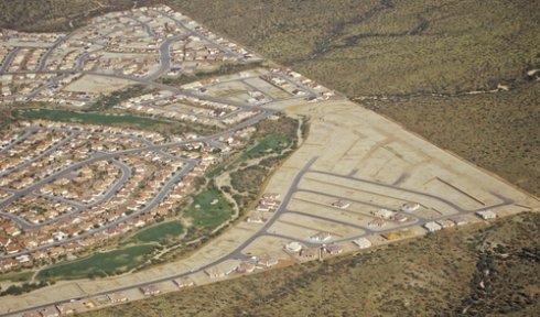
Information on land use is economically important, strategically valuable and sensitive as well. As such, it tends to be gathered and guarded by individual sovereign states. Land resource information is usually collected through surveys on the ground and from the air; photography and manned flight developed around the same time, and by 1858 photography from balloons was being used for land cadastres. Aircraft soon replaced balloons (and the use of miniature clockwork cameras on the Bavarian Pigeon Corps), and a little over a century after the first imaging efforts of balloonists, satellites began collecting images of Earth from space.
Want to continue reading this article?
Click to login.